Dr Seppe Cassettari
Seppe has over 40 years experience in the mapping and geospatial industry. Having recently retired from his role running Geomni UK, he is now working part time as a consultant and training specialist.
His career started with the UK military where he worked for 10 years in various mapping and geo-intelligence roles, during which time he completed one of the UK’s first PhDs in GIS. He then went on to run the ground breaking GIS undergraduate programme at Kingston University before being head hunted to run Longman GeoInformation for the publishers Pearson.
Following a management buy-out he became CEO of The GeoInformation Group in 1998 which went on to publish geospatial datasets and undertake many projects in the UK and abroad. The company is best known for the early aerial imagery databases developed in the mid 1990’s, published as Cities Revealed, and more recently the UKMap large scale topographic map base and the UKBuildings database of building type and age. The company also created the telecoms clutter data used by many mobile operators in the UK. The GeoInformation Group was sold to Verisk Inc. in 2016.
Seppe continues with his interest in mapping, writing regularly for the GeoConnexions magazine and being involved in the British Cartographic Society.
Since his time at Kingston University, Seppe has published many articles, books and papers and continues his contribution to the subject area through various publications. A selection of his publications can be found below.

Industry Leadership
British Cartographic Society's
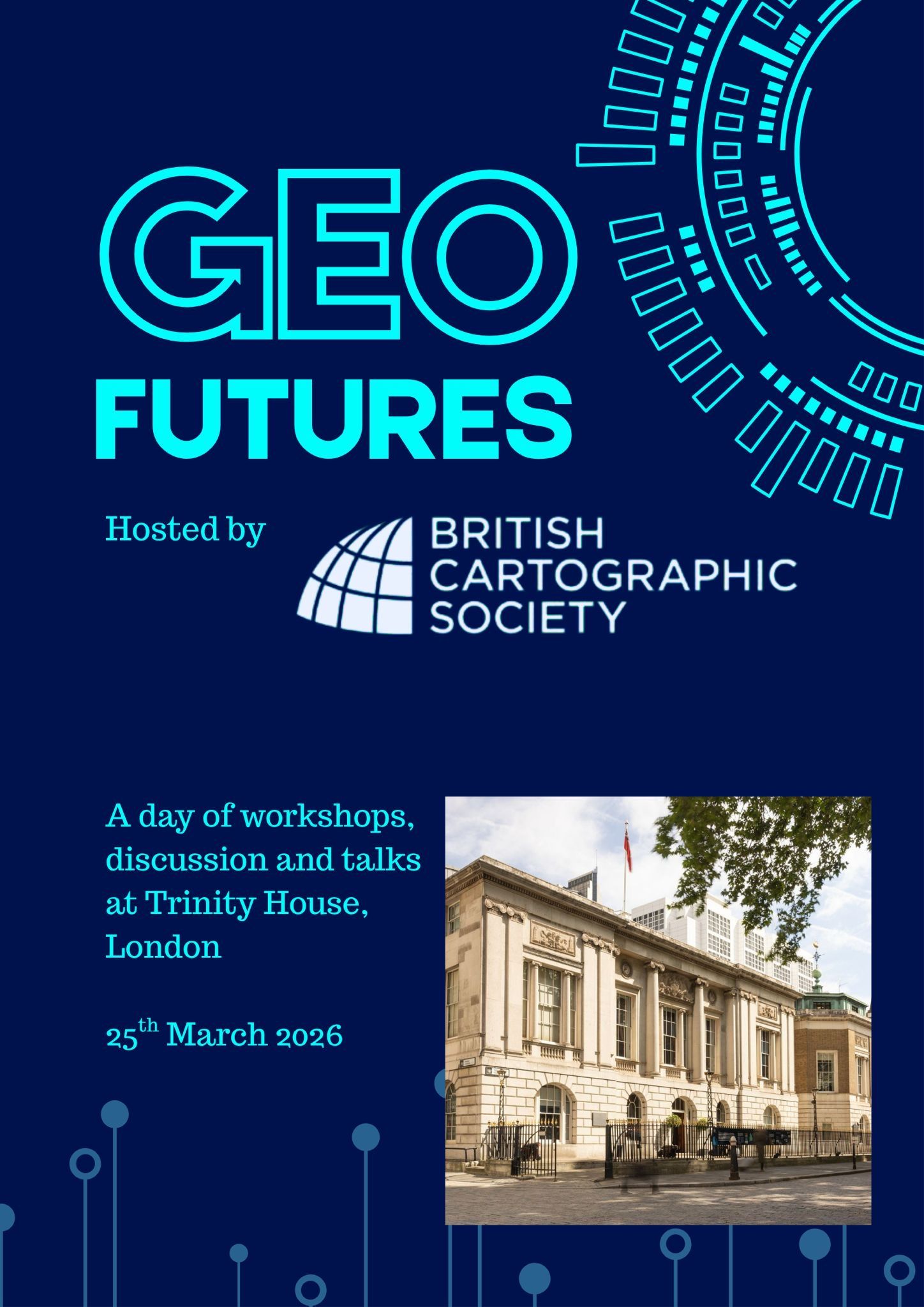
GeoFutures Workshop
Dr Seppe Cassettari organised and ran the BCS GeoFutures event held at Trinity House in London on the 25th March 2026. The workshop brought together nearly 80 leading lights from across the geospatial community for a days discussion on the opportunities and challenges that geospatial visualisation and map use face over the next 10 to 20 years.
European Association of Aerial Survey Industries (EAASI)
Dr Seppe Cassettari was invited to be on the European panel of judges for the "GeoSpatial Business Bridge" Outstanding Thesis Award for 2024, 2025 and 2026 and will give the Keynote Talk at the EAASI Conference, Alicante, Spain in November 2026.


Dr Cassettari, President
of British Cartographic Society
in 2004-2006 and 2021-2024
Thought Leadership
Recent publications and presentations
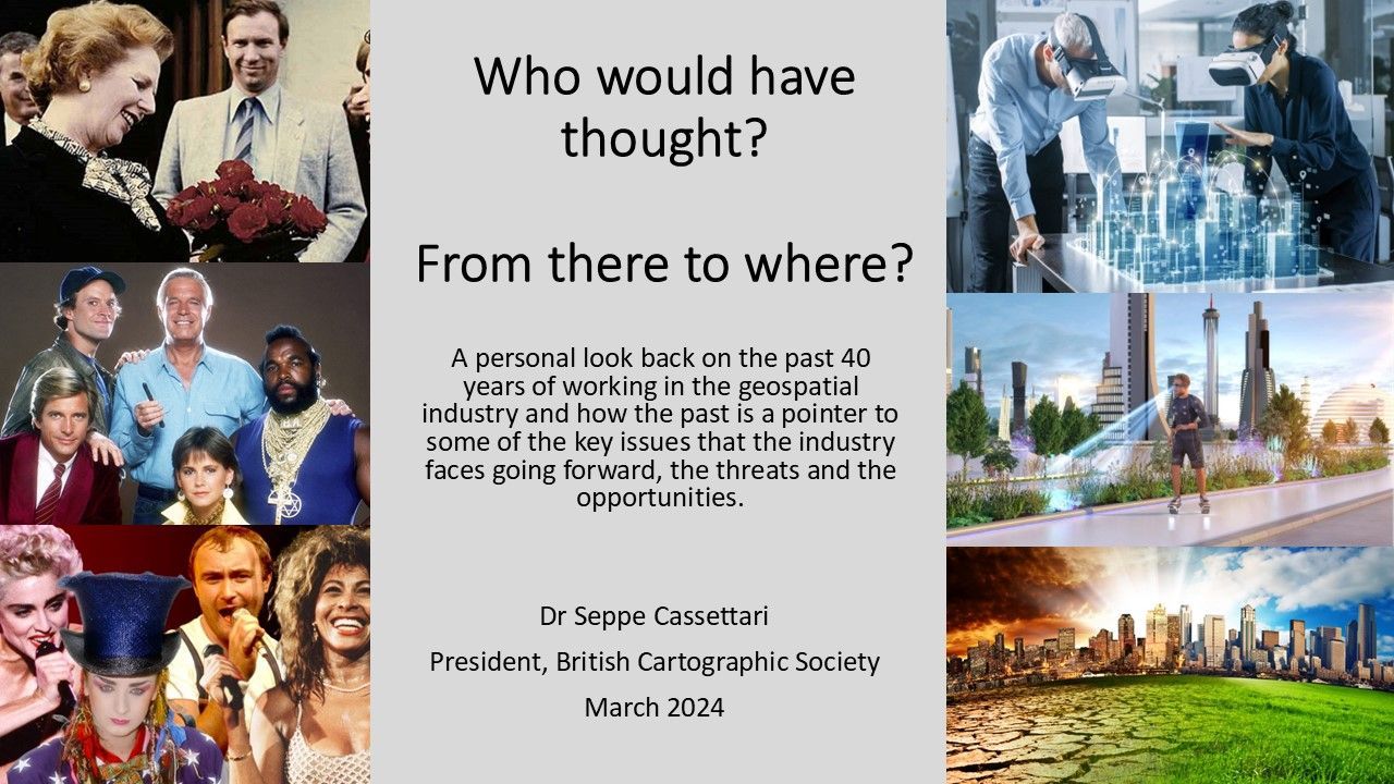
A Viewpoint presentation given to the British Cartographic Society as part of their Teatime Talk series in March 2024 (which is available on the BCS YouTube channel) and subsequently at the Cymru Cartographic Conference in Aberystwith, May 2024.
The presentations looked back over a 40 year career to consider some of the changes that have ocurred within the Geospatial world and considered what are some of the most challenging issues that we currently face.
Cartographic Journal Article
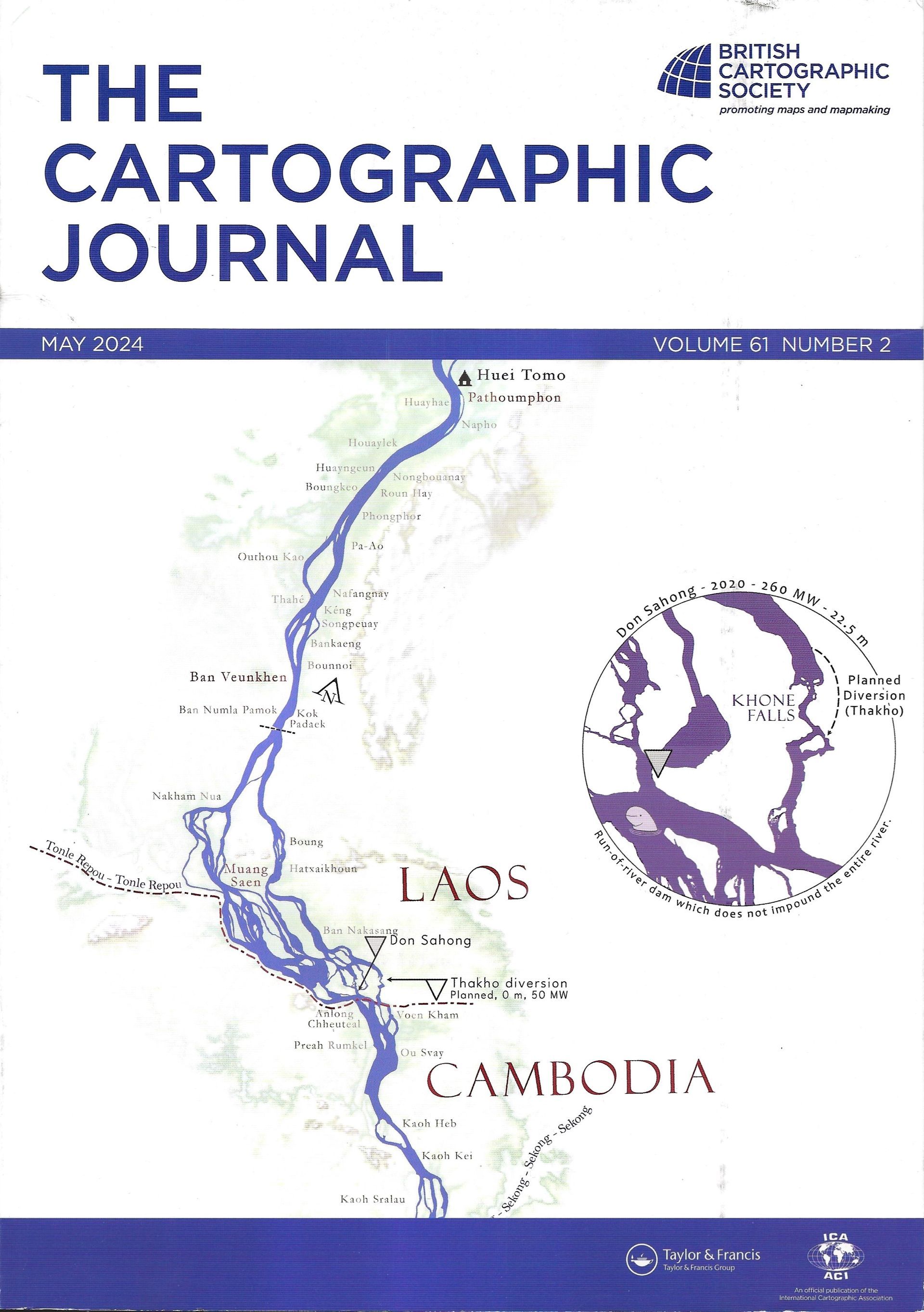
After Seppe Cassettari's president's address at the end of his term as President of the British Cartographic Society and subsequent presentation to the Cymru Cartographic Conference in May 2024 a version was published in the Cartographic Journal Vol 61 No 2 pp168 - 175 in May 2024.
Cartographic Journal Special Issue - UKCC National Report to ICA 2019-2023
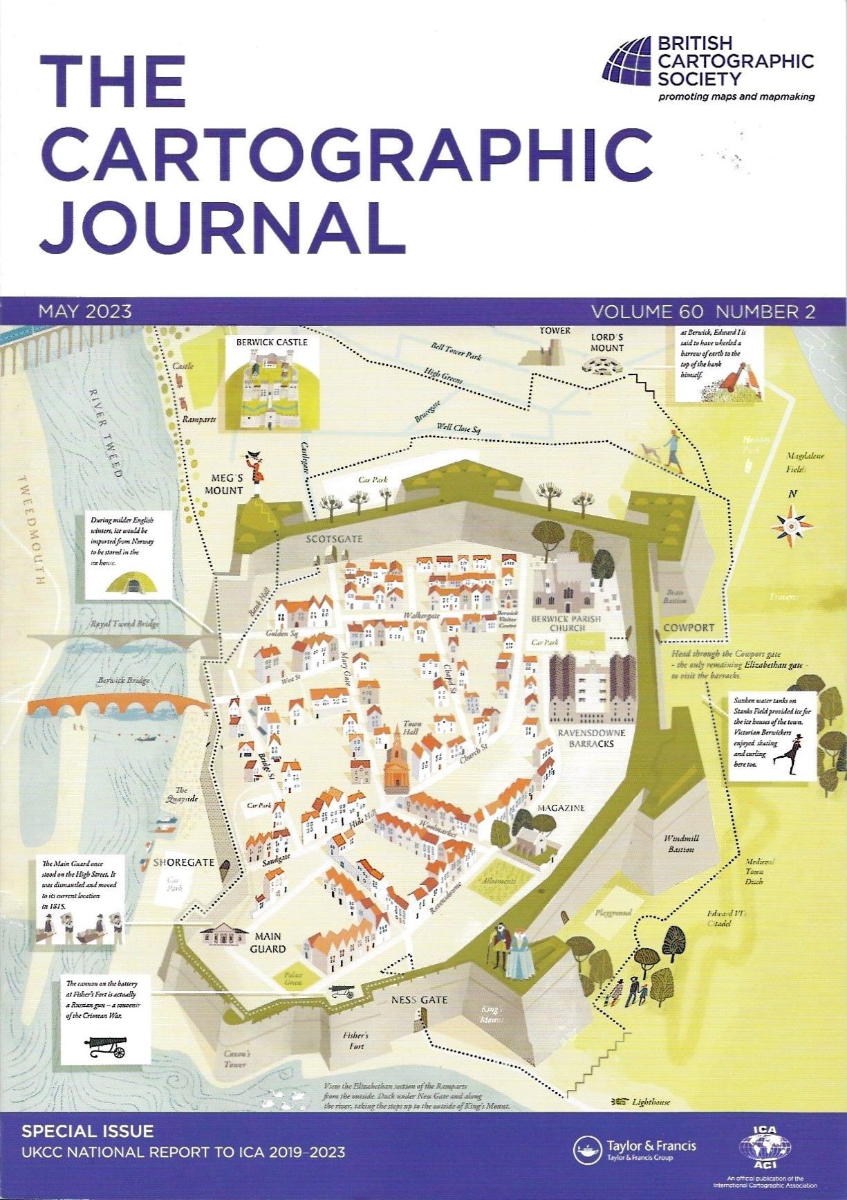
Seppe Cassettari, together with Alexander Kent and Christopher Budas, compiled and edited the UK Cartographic Committee (UKCC) National Report to the International Cartographic Association for the period 2019 to 2023. It was published as a Special Issue of the Cartographic Journal Vol 60 No 2 May 2023 and is available from Taylor and Francis at:
https://www.tandfonline.com/toc/ycaj20/60/2
GeoConnectionUK and GeoConnection International
regular column
Seppe Cassettari had a regular column in GeoConnexionUK and GeoConnection International magazine.
Here are the links to the 2020 and 2021 articles
Autumn 2021
The importance of grids, spheroids and datums
'Seppe Cassettari argues that we need to better understand the importance of the grid systems we use as the basis for datasets and their likely impact on accuracy and consistency when used in a wider context.'
https://www.geoconnexion.com/publications/autumn-2021-int-issue
July/August 2021
Risky Business
'Most of us wouldn't dream of buying food in a supermarket without at least considering the 'Best Before' and 'Use By' dates. So why should we be expected to usemaps or geospatial data when we know so little about their sources and overall quality? It's all a matter of risk says Seppe Cassettari'
https://www.geoconnexion.com/publications/july-august-2021-int-issue
May/June 2021
The importance of archives
'Seppe Cassettari argues that by learning and applying lessons from the past, we can help future generations avoid the need to re-invent the wheel'
https://www.geoconnexion.com/publication-articles/the-importance-of-archives
March/April 2021
Enhanced Topographic Mapping
'Seppe Cassettari wonders how large scale mapping might be improved ….
and takes inspiration from an unexpected quarter'
https://www.geoconnexion.com/publication-articles/enhanced-topographic-mapping
January/February 2021
Speaking with many voices
'Seppe Cassettari suggests that it is time for our professional and trade associations to rethink their role and how they measure-up to the task'
https://www.geoconnexion.com/publication-articles/speaking-with-many-voices
November/December 2020
DIY GIS
'Seppe Cassettari says that while a bad craftsman will always blame his tools, it’s having the nous to use them correctly that is fundamental to success, not least in GIS'
https://www.geoconnexion.com/publication-articles/diy-gis
September/October 2020
Stand and deliver!
'Seppe Cassettari sets his sights on Britain’s muddled and costly addressing system and argues that enough is enough'
https://www.geoconnexion.com/publication- articles/stand-and-deliver-1

July/August 2020
Mapping the message
'While maps can deliver complex information in a simplified, easily digestible form, Seppe Cassettari suggests that more work is needed to ensure they convey clear messages in a rapidly unfolding pandemic'
https://www.geoconnexion.com/publication-articles/mapping-the-message
May/June 2020
Future Planning, Historic Context
'Seppe Cassettari reflects on the need for a detailed, comprehensive national land use database, and believes the time is right to put words into action'
https://www.geoconnexion.com/publication-articles/future-planning-historic-context
March/April 2020
A geo-passport for your property?
' Seppe Cassettari suggests that applying some joined-up thinking in the conveyancing process could plug existing gaps in data consistency, currency and quality'
https://www.geoconnexion.com/publication-articles/a-geo-passport-for-your-property
January/February 2020
Rise of the drone
'In the first of a series of articles about innovation and the future, Seppe Cassettari traces the evolution of aerial imaging and how the rise of the drone poses a significant challenge for traditional suppliers'
https://www.geoconnexion.com/publication-articles/rise-of-the-drone

Other Publications
Seppe Cassettari was the lead author on a series of information booklets published by The GeoInmformation Group and latterly by Verisk Inc. Copies are available by contacting GeoInforma or GeoHistoric at advice@geohistoric.co.uk
The Map Book 2012
The Buildings Book 2014

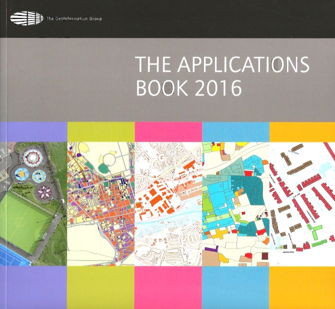
The Applications Book 2016
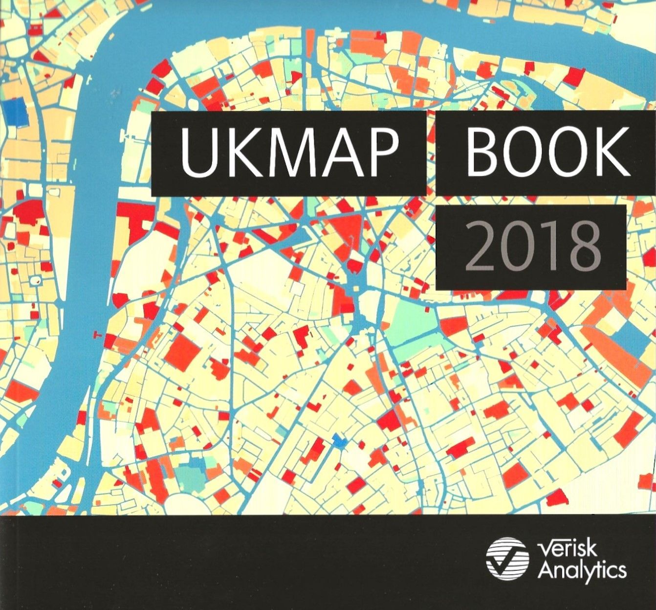
UKMap Book 2018
Seppe Cassettari has written or contributed to a number of books over the years, including a publication on the history of his home village.
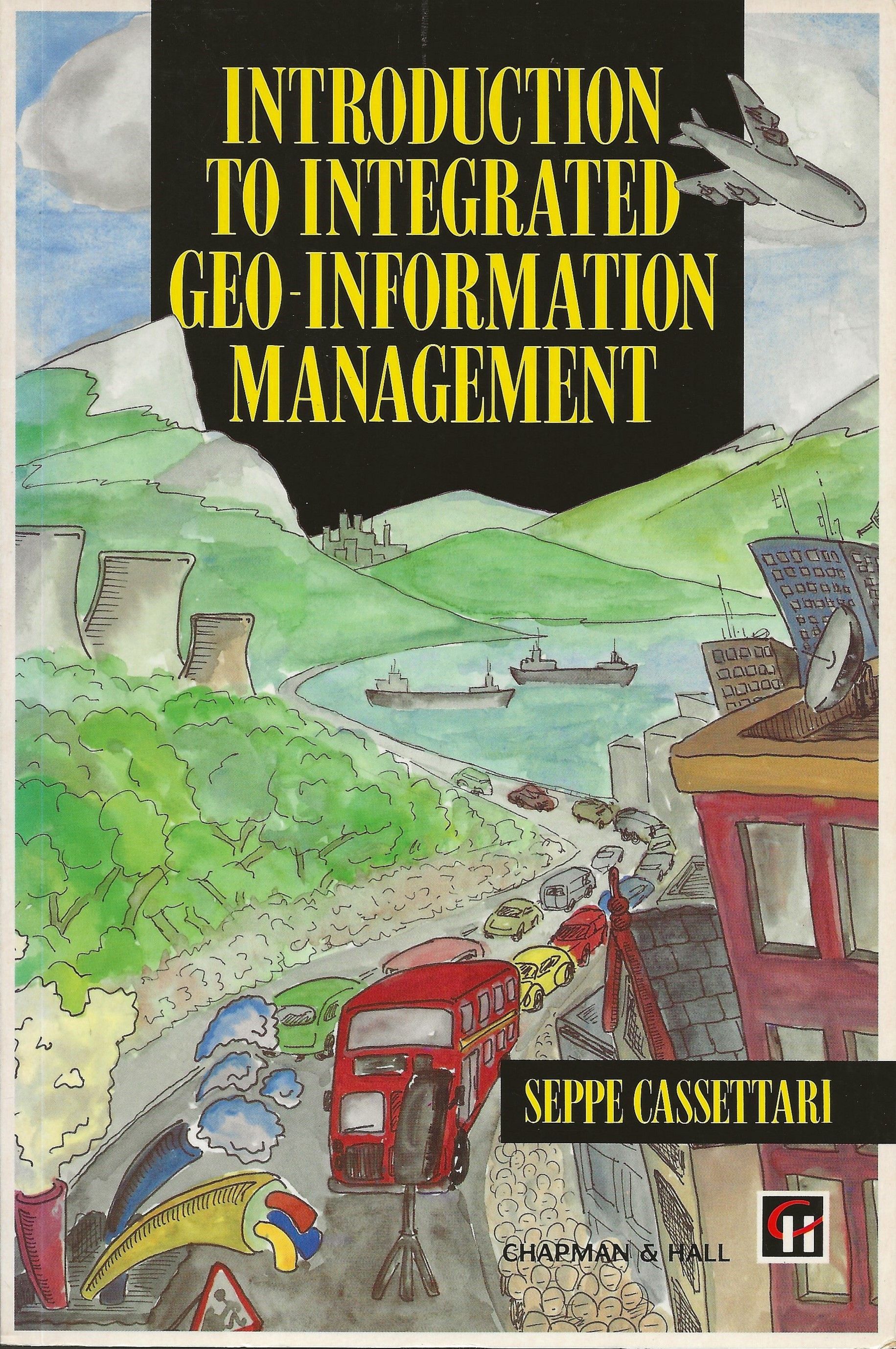
Introduction to Integrated Geo-Information Management by Seppe Cassettari, published by Chapman and Hall 1993
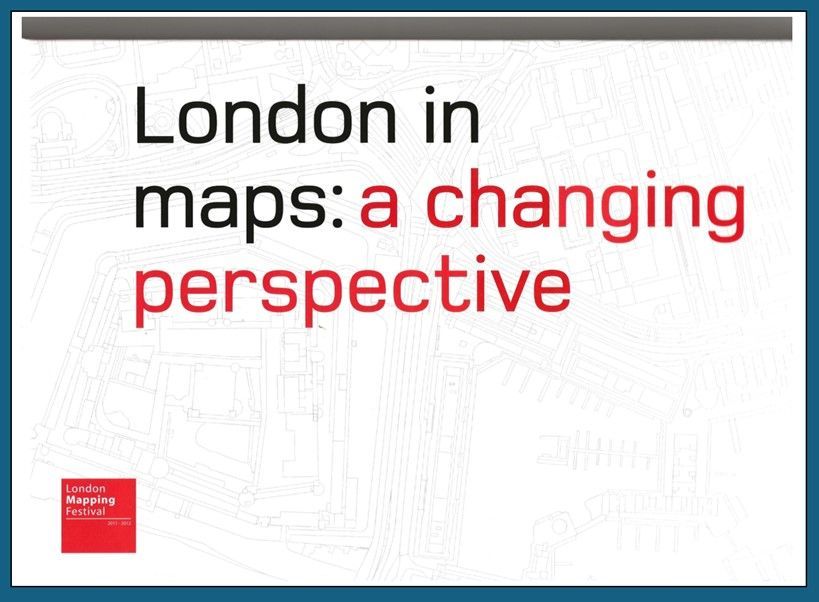
London in maps: a changing perspective by Seppe Cassettari, Fiona Cocks, Chris Going and Nikki Jones, published by The GeoInformation Group in 2011 for the London Mapping Festival 2012.
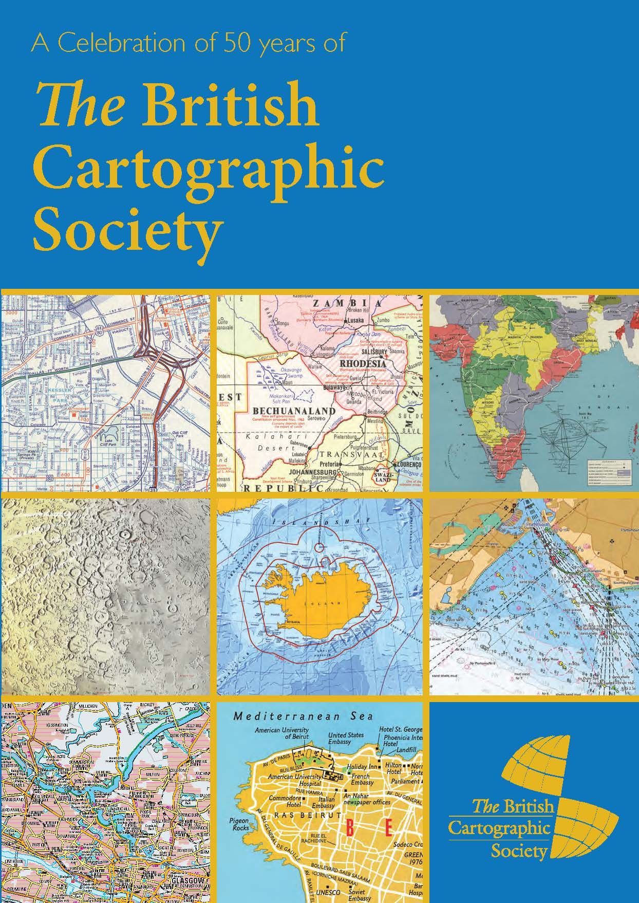
A short history of the British Cartographic Society 1963 – 2013 by Seppe Cassettari with contributions from Chris Board and Ian Mumford and research by Ken Atherton in ‘A celebration of 50 years of The British Cartographic Society’ published by the British Cartographic Society in 2013.
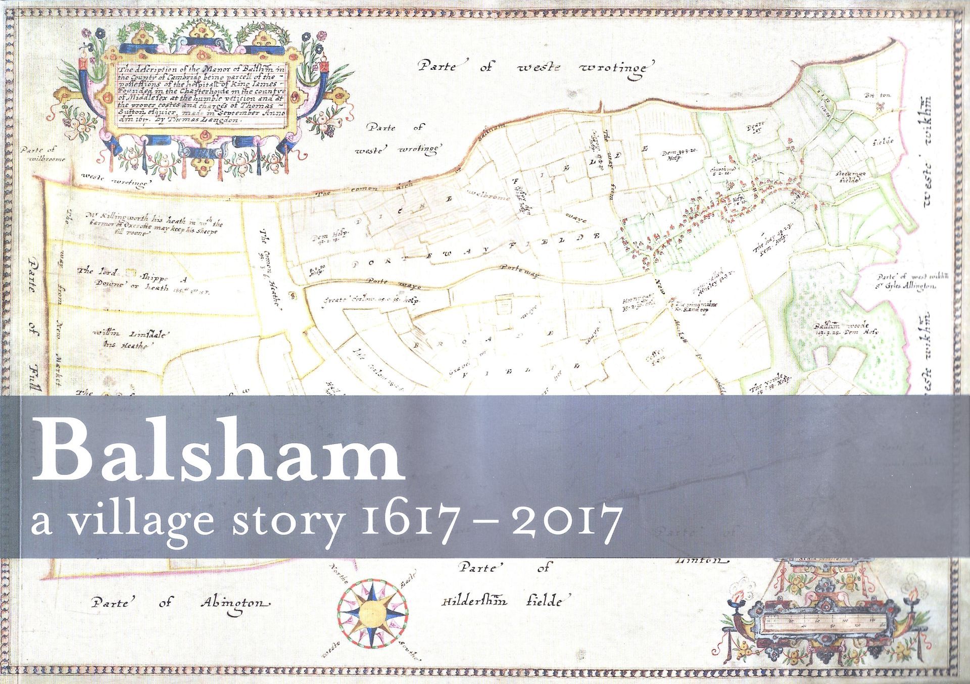
Balsham a village story 1617-2017 by Seppe Cassettari et al, published by the Balsham Map Project 2017
As a Principal Lecturer in GIS at Kingston University in the early 19900's, Seppe wrote a numberof research and conference papers, some of which are available here. One of the key research areas was in digital mosaiced aerial imagery, which ultimately led to the development of the Cities Revealed programme, first published by Longman GeoInformation and then The GeoInformation Group. Cities Revealed imagery was one of the early content layers for the fledgling Google Earth.
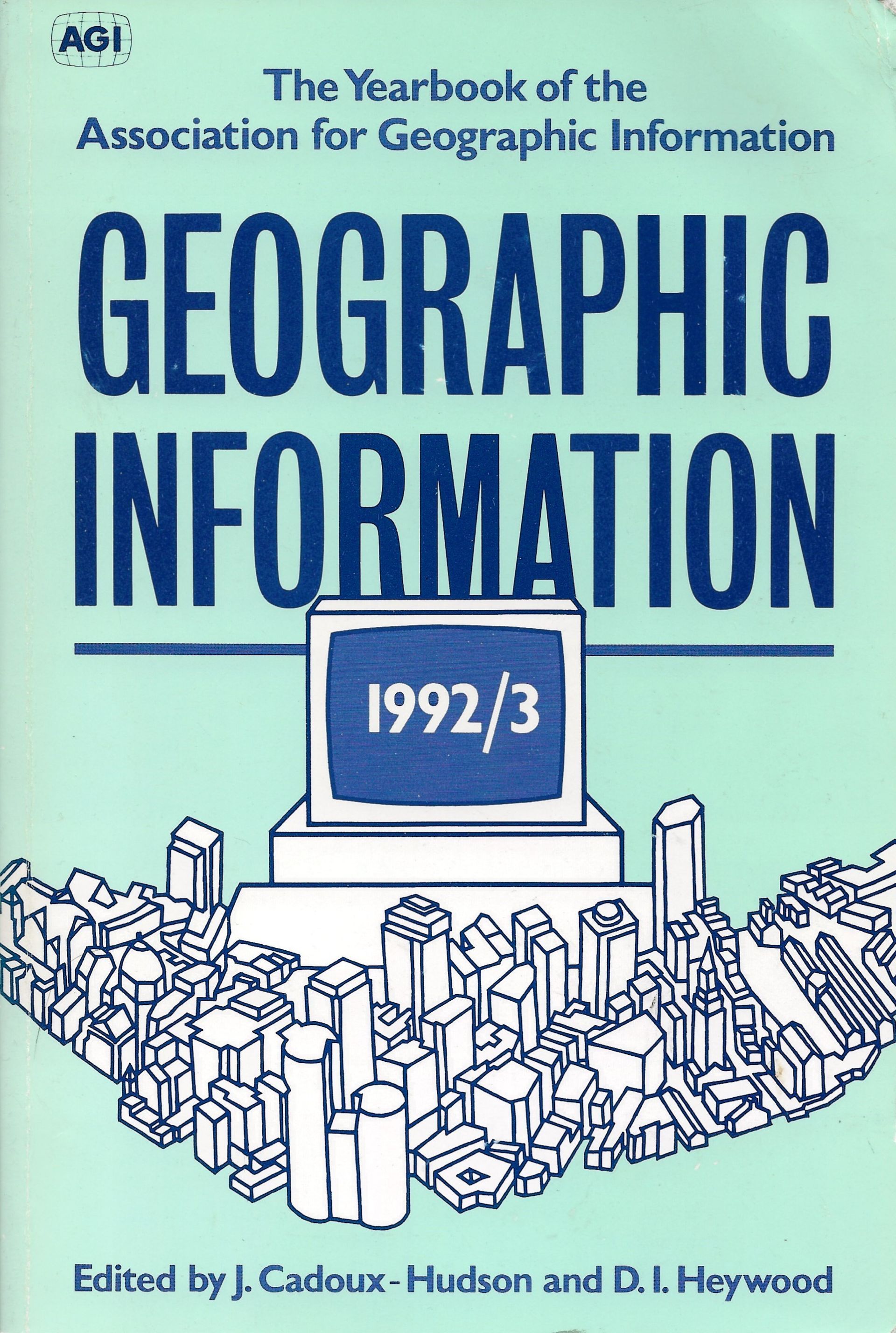
‘Towards integrated image-based systems for aerial photographs’
Geographic Information 1992/3 Eds J Cadoux-Hudson and D I Heywood pp201-6 published by Taylor & Francis
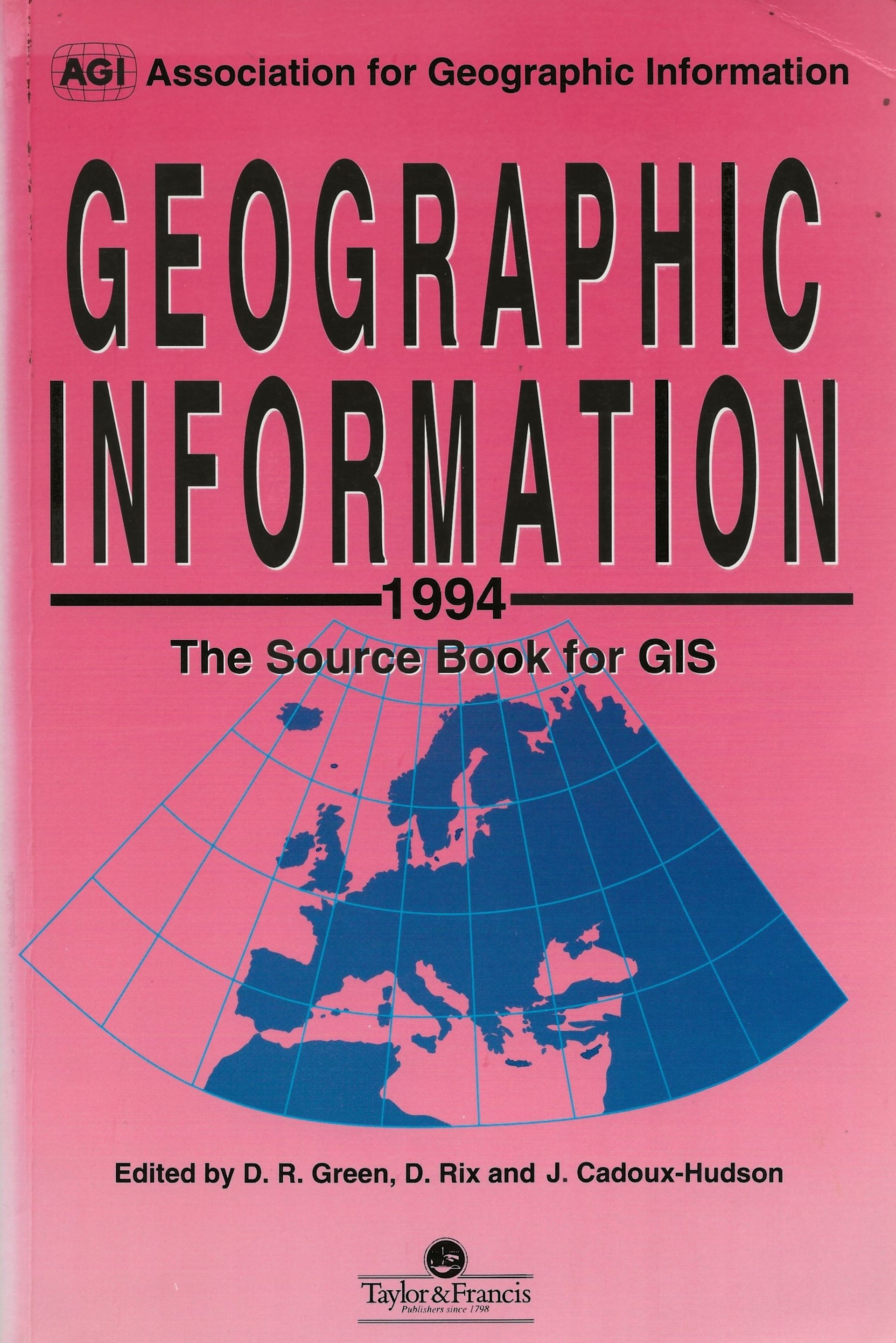
‘Visualization and virtual reality: prospects for GIS’
Geographic Information 1994 The Source Book for GIS Eds D R Green, D Rix and J Cadoux-Hudson pp533-8 published by Taylor & Francis
‘Sound as a data type in a spatial information system’
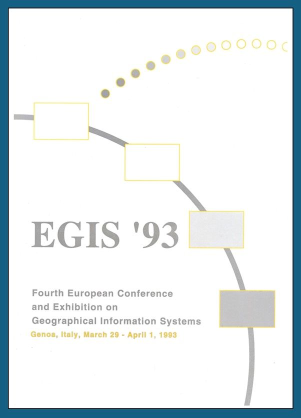
Seppe Cassettari and Ed Parsons Proceedings of the Fourth European Conference and Exhibition on Geographical Information Systems, Genoa, Italy 1993 (Awarded Third Prize in the ‘Best Paper’ competition out of 193)
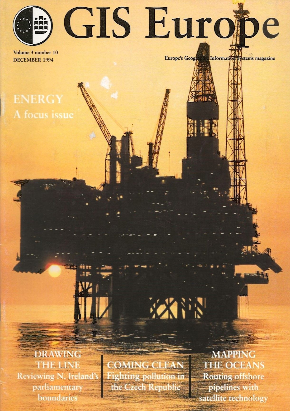
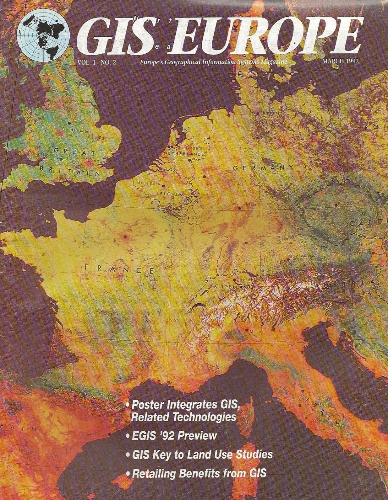
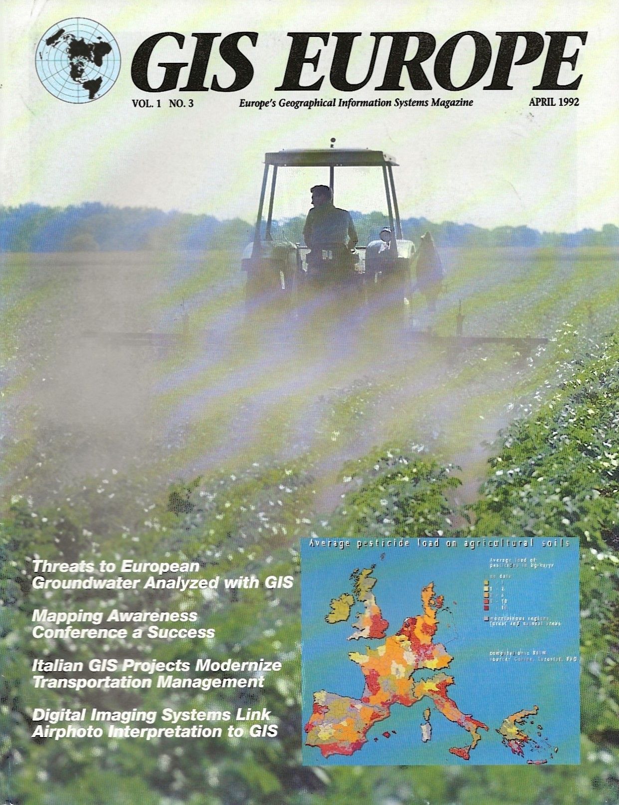
Seppe Cassettari was Associate Editor of GIS Europe magazine in the early 1990's, before he took over running Longman GeoInformation and its subsidiary GIS World, the company publishing this and other titles, in 1994.
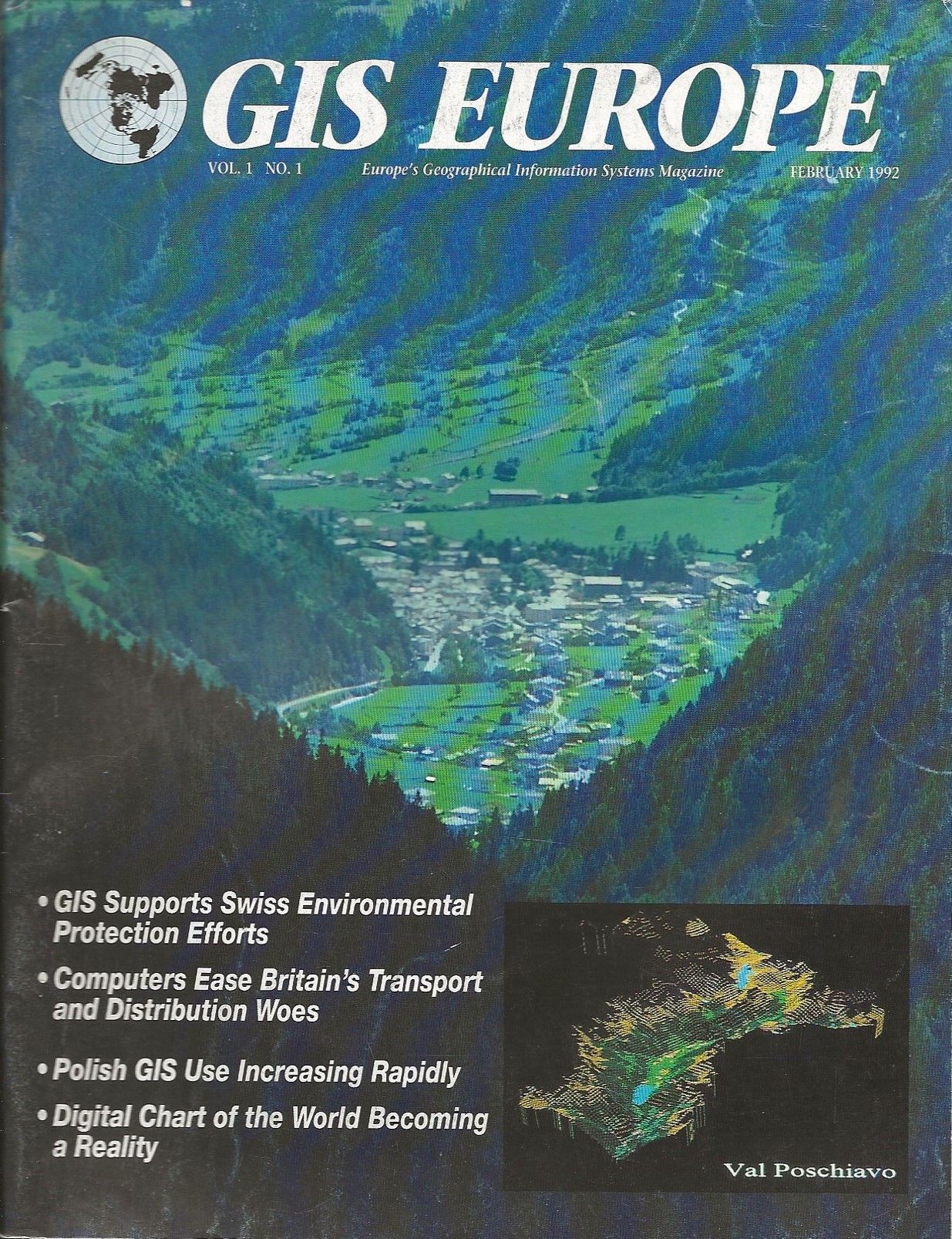
‘Gazetteers: Whose responsibility?’ Seppe Cassettari, GIS Europe magazine Vol 1 No 2 March 1992 pp12
‘Topic of the year? European data exchange, formats and standards’ Seppe Cassettari and David Green, GIS Europe magazine Vol 1 No 93 April 1992 pp14
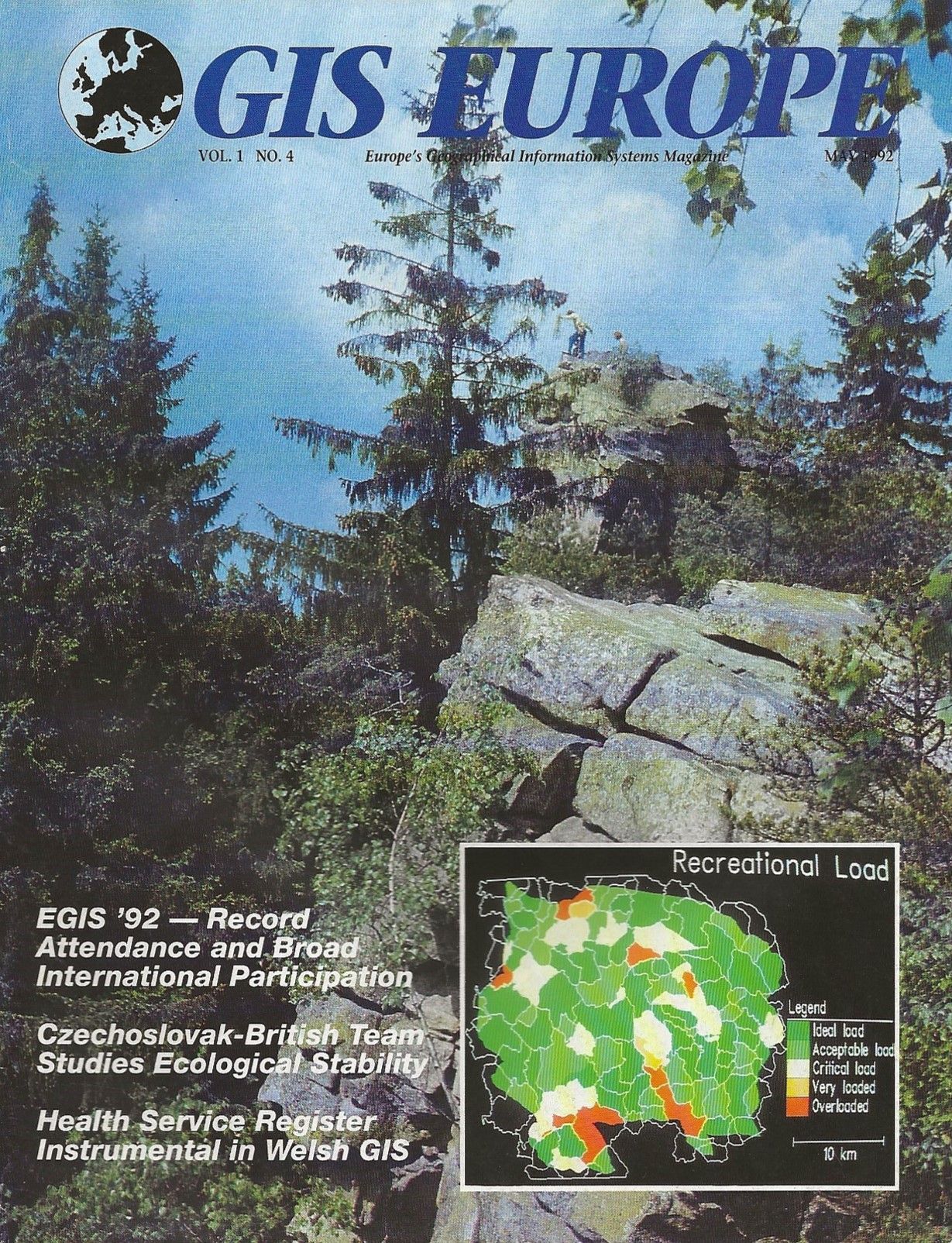
‘GIS for the home?’ Seppe Cassettari and David Green, GIS Europe magazine Vol 1 No 4 May 1992 pp12
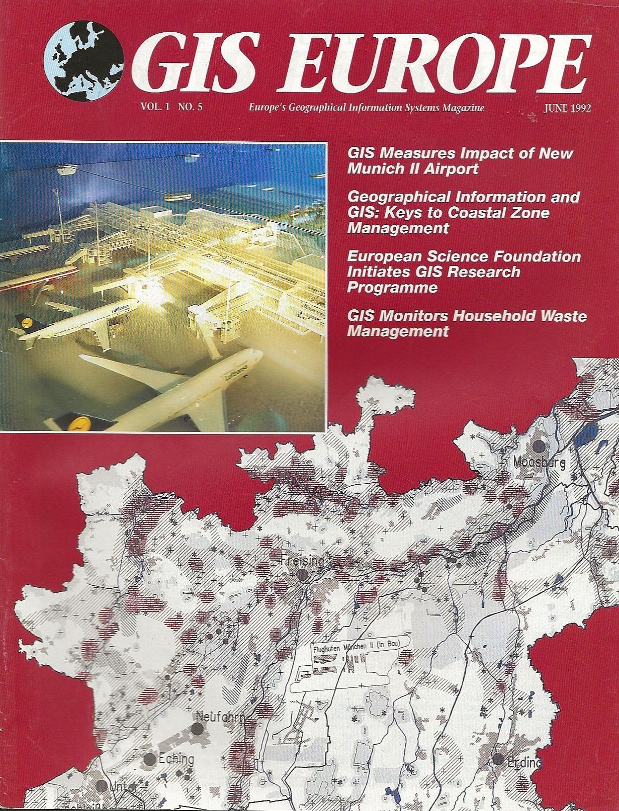
‘Error: Ignoring it could be the biggest mistake of all’ Seppe Cassettari and David Green, GIS Europe magazine Vol 1 No 5 June 1992 pp12
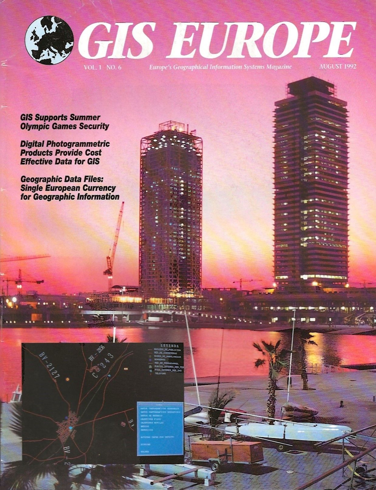
‘User Interfaces: An important consideration for the future’ Seppe Cassettari and David Green, GIS Europe magazine Vol 1 No 6 August 1992 pp16
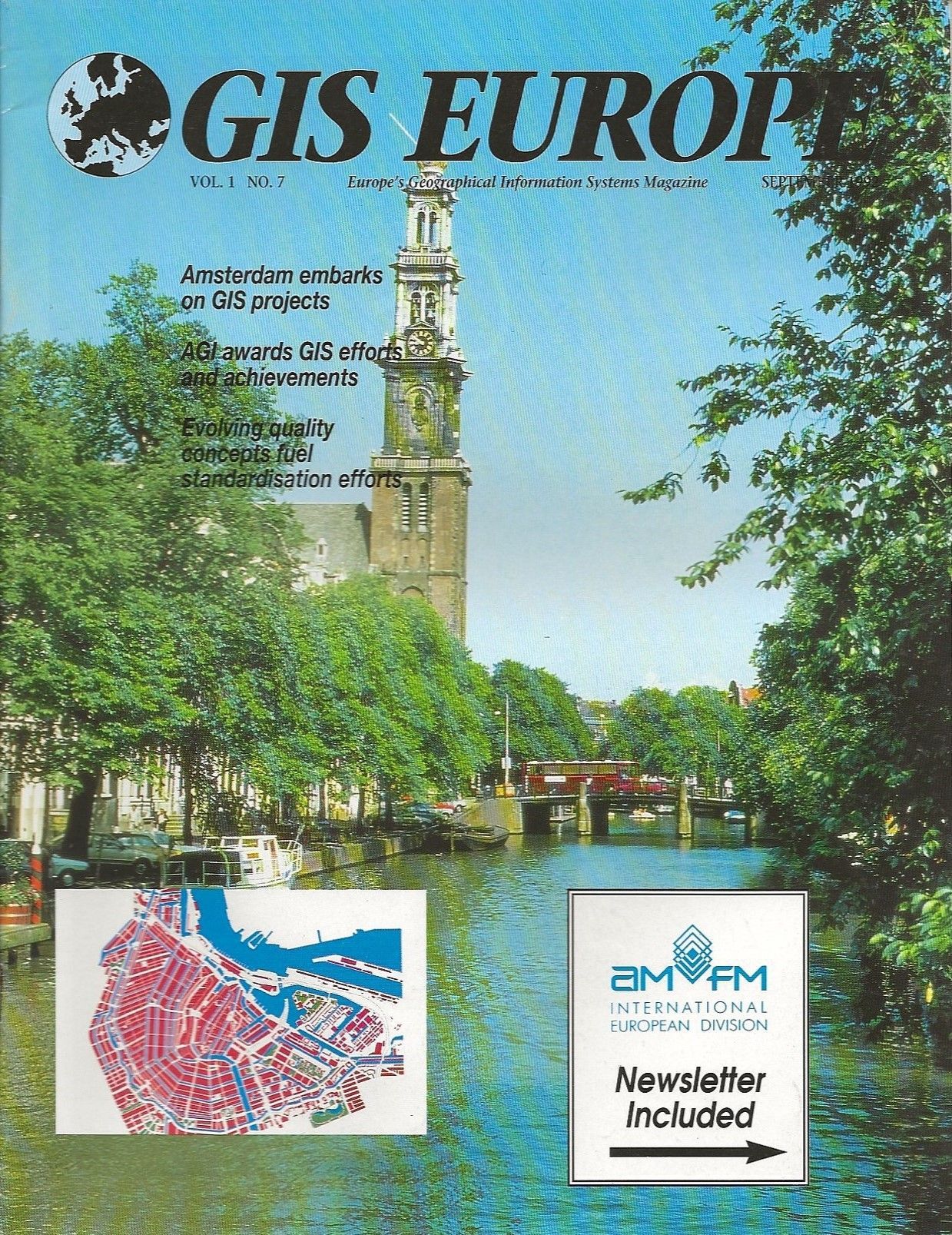
‘Still a pressing need for GIS awareness’ Seppe Cassettari and David Green, GIS Europe magazine Vol 1 No 7 September 1992 pp12
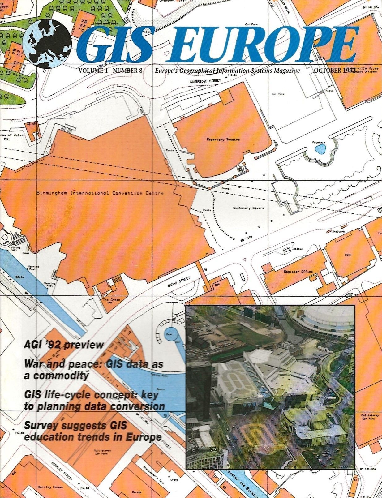
‘Towards an equitable pricing policy for digital maps’ Seppe Cassettari and David Green, GIS Europe magazine Vol 1 No 8 October 1992 pp10
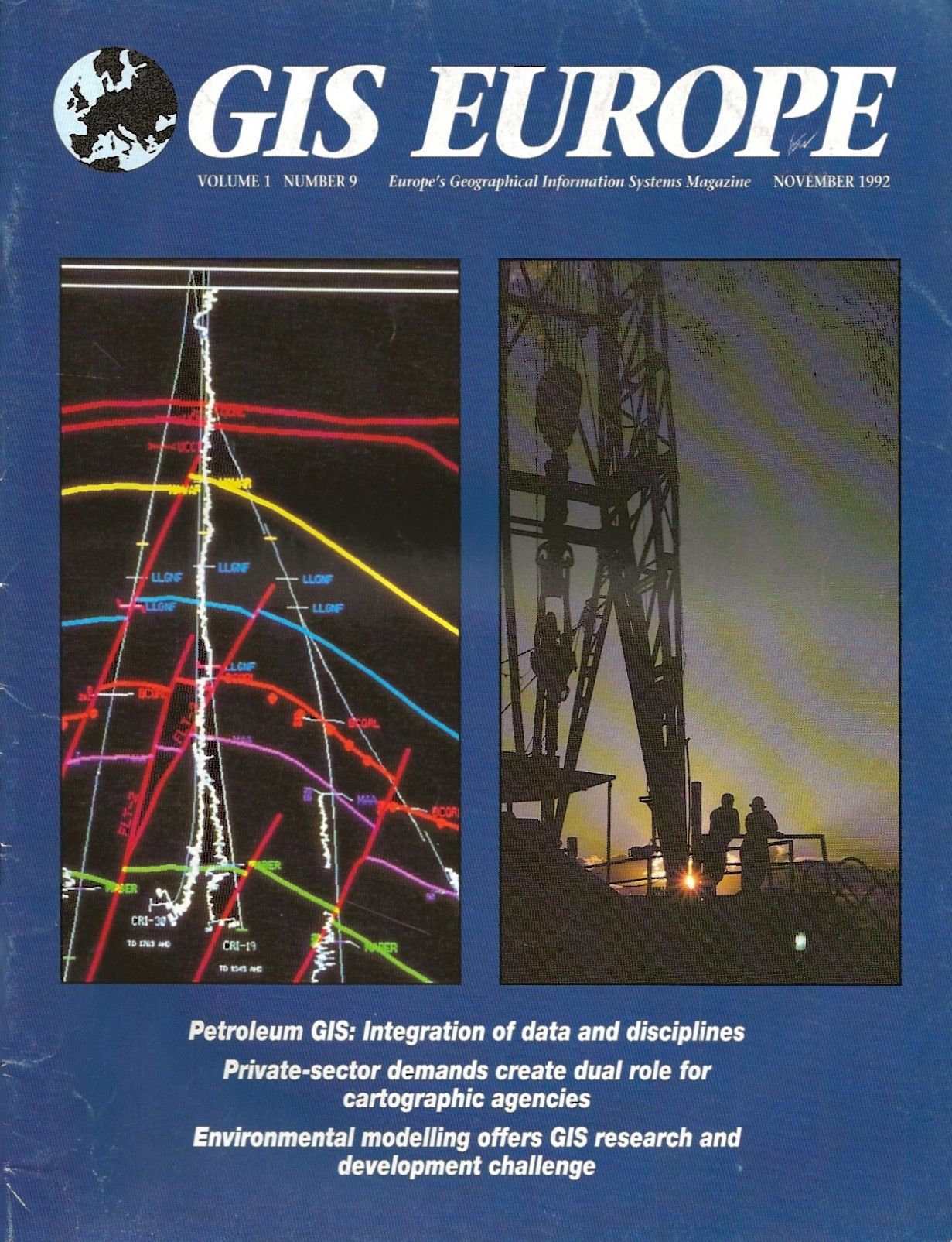
‘Wherefore art thou cartographer? Your GIS needs you!’ Seppe Cassettari and David Green, GIS Europe magazine Vol 1 No 9 November 1992 pp14
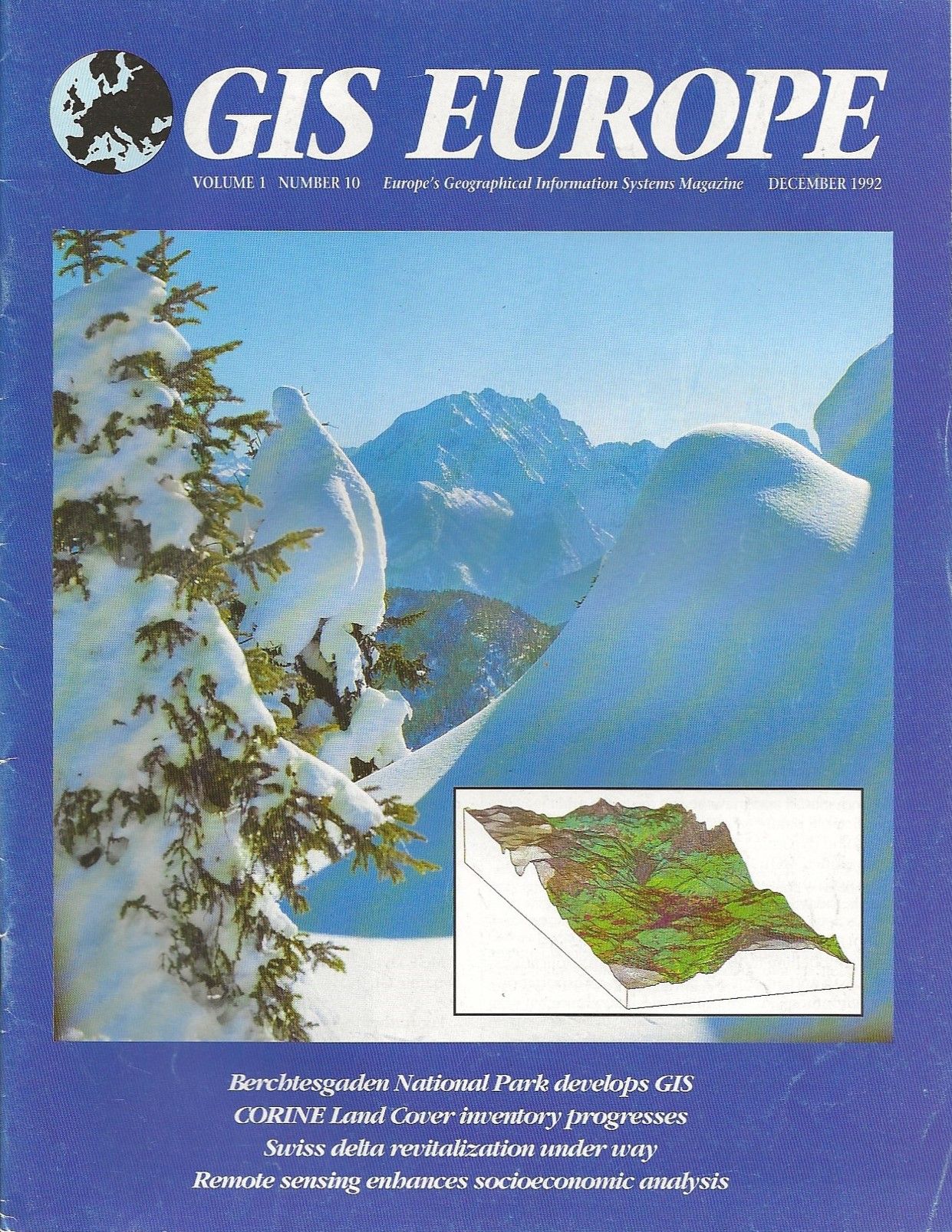
‘Domesday 2000 project moves forward’ Seppe Cassettari and David Green, GIS Europe magazine Vol 1 No 10 December 1992 pp11
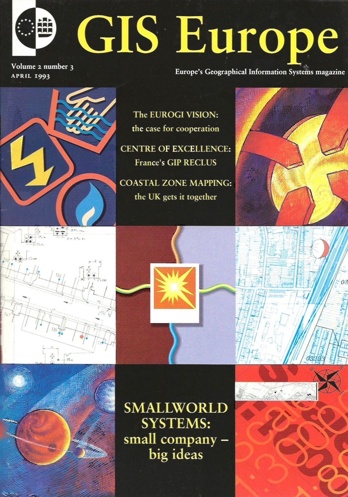
‘So far so good – but not yet good enough?’ Seppe Cassettari, GIS Europe magazine Vol 2 No 3 April 1993 pp15
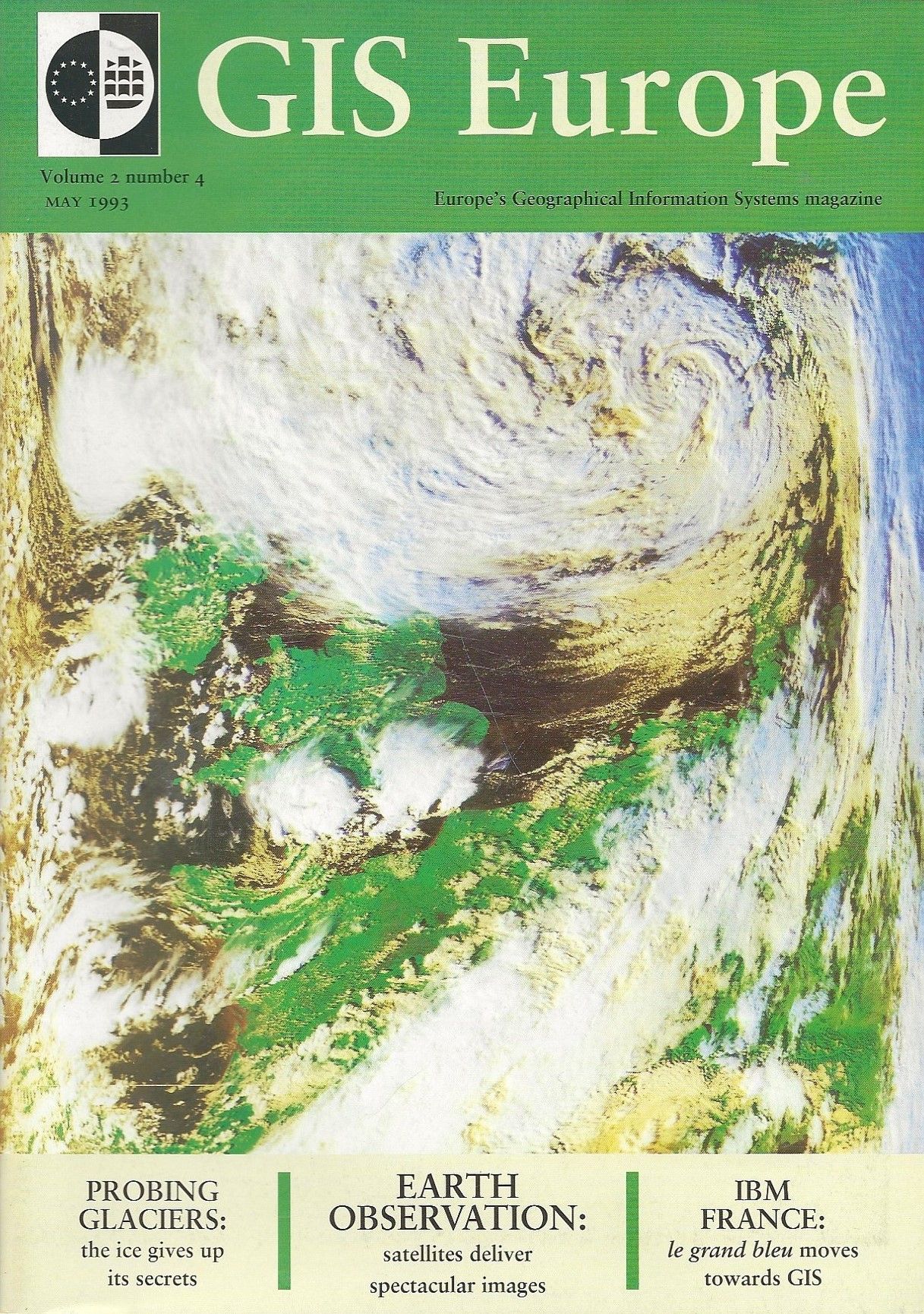
‘GIS videos: An annotated bibliography’ and ‘Intergraph seminar: a specific solution for generalizing map’ Seppe Cassettari, GIS Europe magazine Vol 2 No 4 May 1993 pp45 & 47
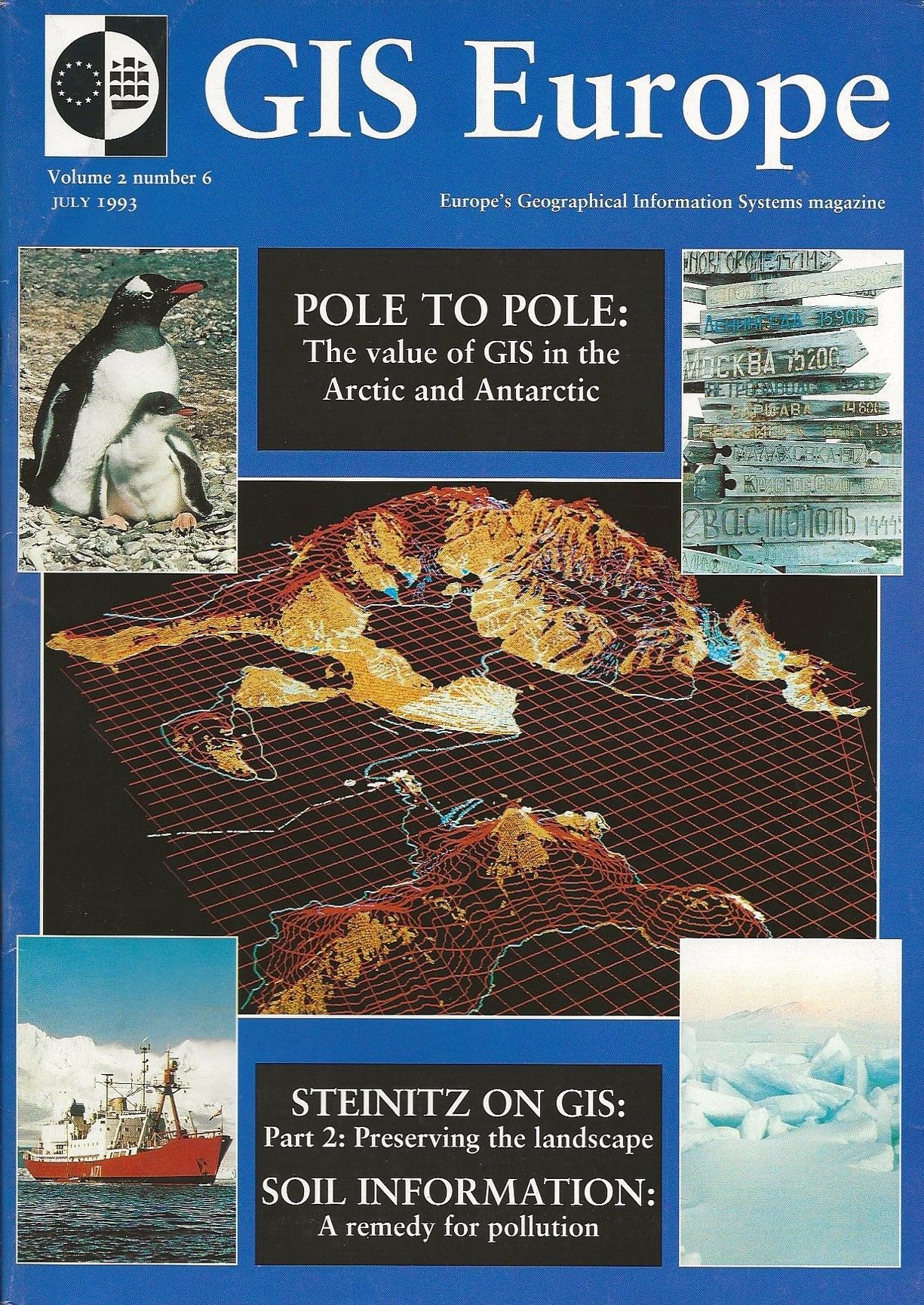
‘GIS ’93: Birmingham, UK, 18-20 May’ Seppe Cassettari, GIS Europe magazine Vol 2 No 6 August 1993 pp46
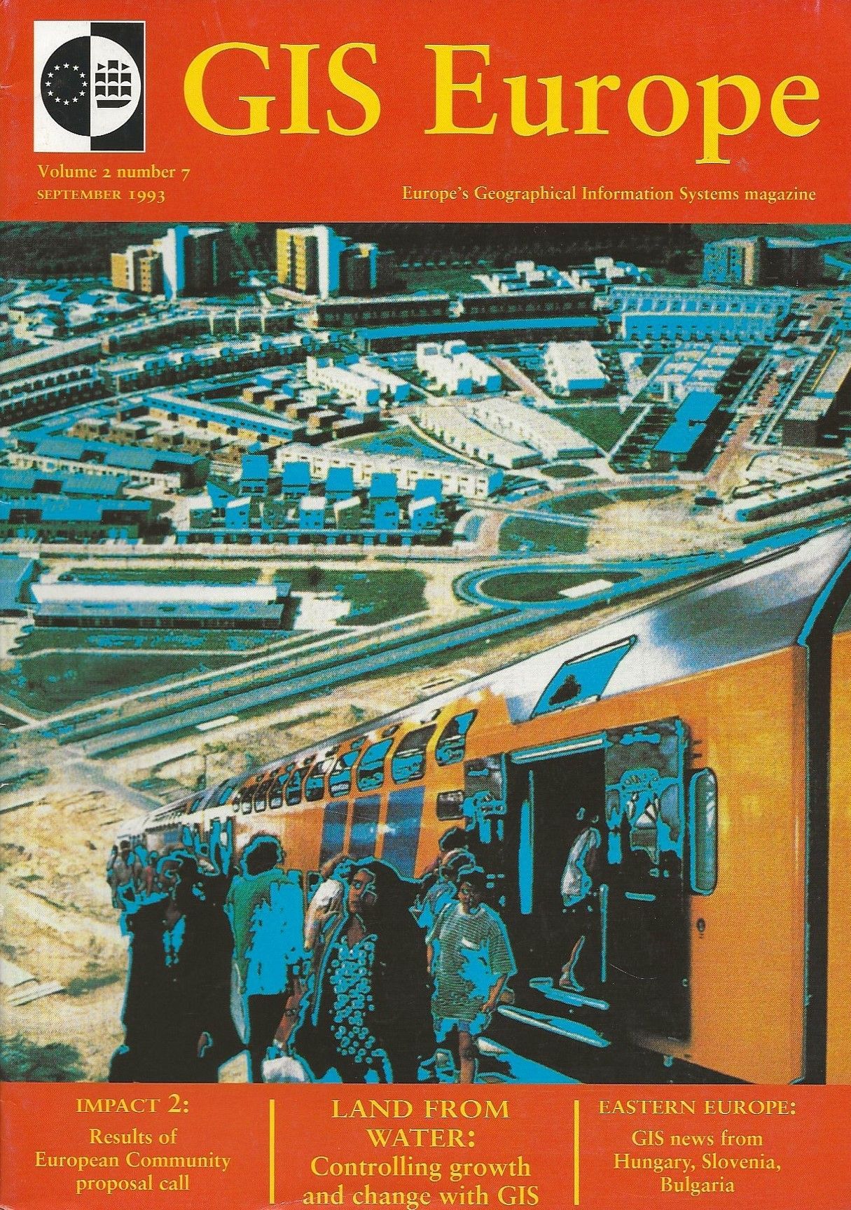
‘Matching map data: will the pieces fit?’ Seppe Cassettari, GIS Europe magazine Vol 2 No 7 September 1993 pp13
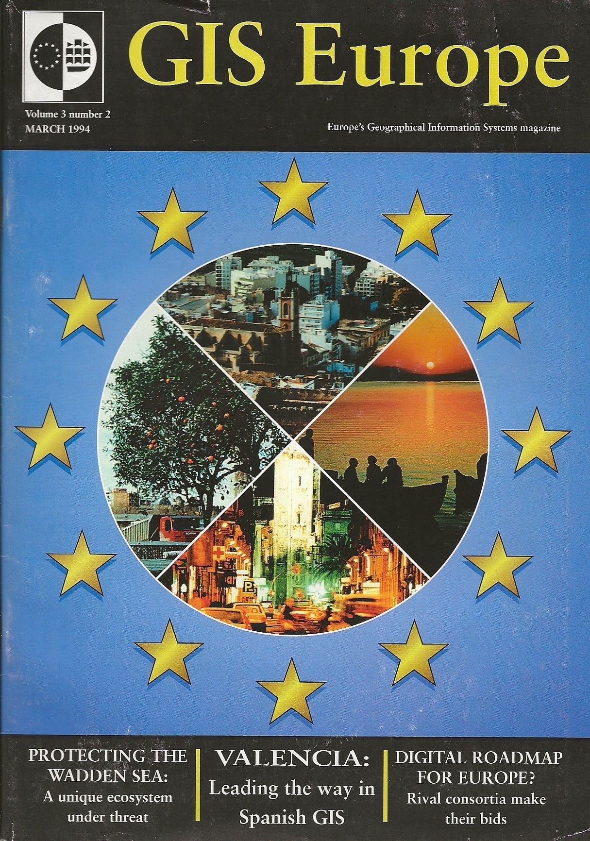
‘Embracing the IS culture: from GIS to GIM’ Seppe Cassettari, GIS Europe magazine Vol 3 No 2 March 1994 pp13
‘Conference report: where are the lost leaders – and presenters?’ Seppe Cassettari, GIS Europe magazine Vol 3 No 4 May 1994 pp13-4
‘Spreading the word about GIS’ Seppe Cassettari, GIS Europe magazine Vol 3 No 5 June 1994 pp4
‘UDT 94: Remote Sensing and GIS in Urban Waters’ Seppe Cassettari, GIS Europe magazine Vol 3 No 10 December 1994 pp22