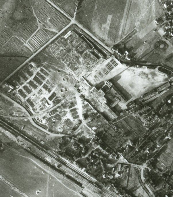
Image Copyright of Geomni UK, part of Verisk inc. 2020
Image Interpretation
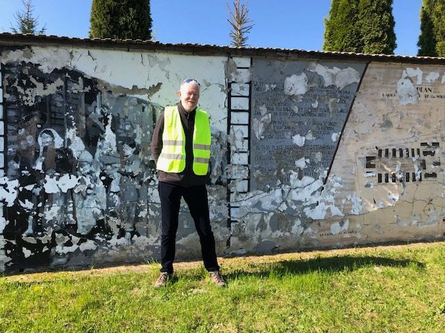
Trawniki Project
GeoHistoric has been contributing our specialist skills in historic aerial imagery and GIS to a holocaust project in the Trawniki area run by a team from Huddersfield University Archeology Department led by Prof Caroline Sturdy-Collins.
The project seeks to better understand the history of the site and surrounding area and it's contribution to the wider events of the holocaust.
Chris has been undertaking an analysis of all the features in the various aerial images to support the forensic archeology gathered from several seasons of fieldwork. Seppe has been building a QGIS database of present day Trawniki and an interpreted map based of the features that existed in the 1944-45 period, together with viewsheds and 3D analysis.
A book based on the project is due to be published in 2026.